Case study on the use of geodata and online tools for WASH in refugee camps
The goal of this project is to provide insight in the possibilities and potential of online data sources and tools for smart measuring, data collection, information sharing and visualisation.
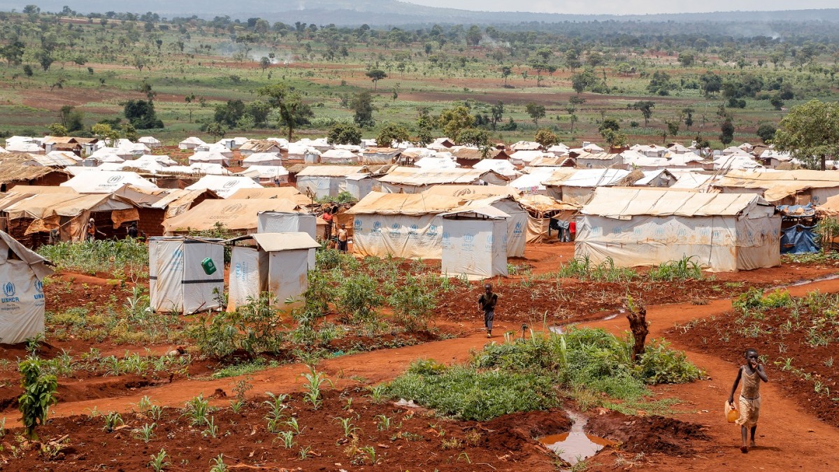
To demonstrate this we will carry out a pilot project in Mtendeli refugee camp in Tanzania which currently hosts over 50,000 refugees from Burundi. In Mtendeli we will demonstrate the potential uses of geodata and online tools for WASH (e.g. boreholes, piped networks and latrines) in refugee camps.
These tools and methods can be of great help in planning, decision making, (field) operations and management for UNHCR, UNICEF and partners.
Project details
| Project location: | Mtendeli refugee camp, Tanzania |
| (find climate data for this location) | |
| Project manager: | Sander de Haas & Lucas Borst |
| External website: | |
| Period: | 2017 - 2018 |
Project partners
Data for this project
Interactive map for Mtendeli refugee camp
Online map for Mtendeli refugee camp
| Size: | |
| Date: | 2018-01-19 |
| Author: | Sander de Haas and Lucas Borst |
| Contact: | sanderdehaas@samsamwater.com |
| Reference: |
UNHCR WASH information sharing and visualisation for refugee camps
Final presentation with findings, conclusions and recommendations
| Size: | |
| Date: | 2018-01-19 |
| Author: | Sander de Haas and Lucas Borst |
| Contact: | sanderdehaas@samsamwater.com |
| Reference: |
Mtendeli map dataset for Google Earth
Full dataset with all map layers for Mtendeli refugee camp (Google Earth format).
| Size: | |
| Date: | 2018-01-19 |
| Author: | Sander de Haas and Lucas Borst |
| Contact: | sanderdehaas@samsamwater.com |
| Reference: |
Proposal for UNHCR / UNICEF
Proposal for a case study on the use of geodata and online tools for WASH ion refugee camps
| Size: | 972.56 KB |
| Date: | 2017-10-11 |
| Author: | Sander de Haas and Lucas Borst |
| Contact: | sanderdehaas@samsamwater.com |
| Reference: |

